True Flight Technologies
Locations in Charleston • Atlanta • DFW — Serving Most U.S. States

Precision Aerial Data.
Powerful Solutions.

Professional drone inspections, LiDAR, mapping, and 3D modeling services for construction, infrastructure, golf courses, properties, and more.

Our Services →
FAA Part 107 CertifiedFully Licensed & Insured
Safety FirstProfessional & Compliant
Regional Presence. National Reach.

Three locations. One nationwide standard.

With teams positioned in the Southeast and DFW, True Flight Technologies can mobilize for projects across most U.S. states—bringing the same flight discipline, data quality, and deliverable standards wherever the job takes us.

Southeast Hub

Charleston, SC

Supporting construction, infrastructure, commercial property, coastal, and golf-course projects throughout the Carolinas and surrounding markets.

Southeast Hub

Atlanta, GA

Strategically positioned for rapid access to major construction, industrial, infrastructure, and development projects across Georgia and the Southeast.

South Central Hub

DFW

Serving the Dallas–Fort Worth metroplex and beyond with scalable aerial inspection, mapping, LiDAR, reality-capture, and 3D-modeling support.

Most U.S. StatesProject-based travel and multi-site support available nationwide.
Discuss Your Project →
Capabilities

Data you can build decisions on.

Commercial construction site aerial view

Construction Inspections

Monitor every phase of your project with high-resolution aerial data.
  • Progress Tracking
  • Site Documentation
  • Safety Inspections
  • Marketing Aerials
  • Time-Lapse Video
Learn More →
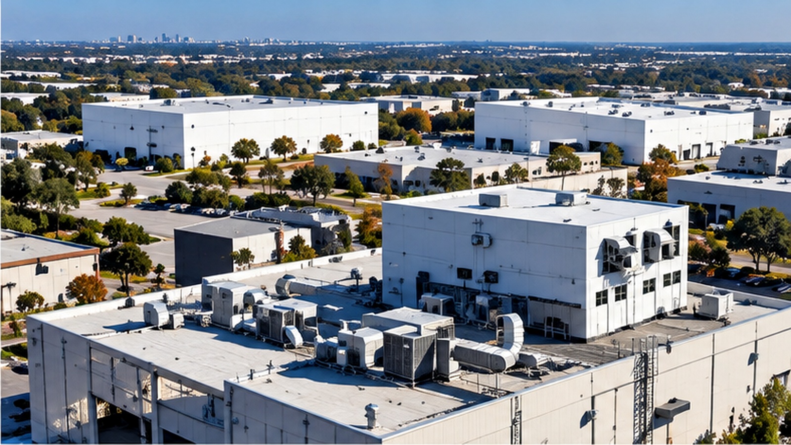
Industrial maintenance aerial inspection

Maintenance Inspections

Inspect hard-to-reach areas safely and efficiently.

  • Roof Inspections
  • Bridges & Structures
  • Cell Towers
  • Solar Farms
  • Industrial Facilities
  • CAT (Catastrophe) inspections for insurance adjuster support
Learn More →
Drone mapping over a golf course

Drone Mapping

Accurate aerial maps, topographic surveys, and volume calculations.
  • Orthomosaic Maps
  • Topographic Mapping
  • Stockpile Measurements
  • CAD Compatible Files
  • Property Mapping
Learn More →
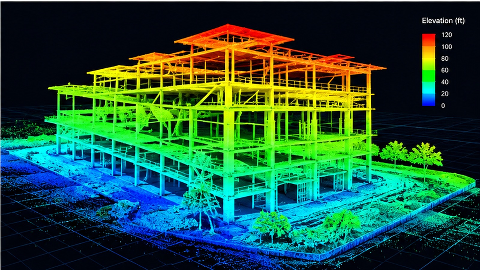
LiDAR 3D model visualization

LiDAR & 3D Modeling

Capture survey-grade data and point clouds for precise decision making.

  • LiDAR Point Clouds
  • 3D Models & Meshes
  • Contours & Terrain Models
  • Digital Terrain Models
  • Digital Twins
Learn More →
Aerial golf course mapping view
Aerial MappingHigh-resolution course intelligence
3D TERRAIN MODEL
LIVE VISUALIZATION
3D VisualizationAnimated terrain model & flyover
ELEVATION MODEL
DRAINAGE FLOW
Drainage & ElevationRenovation planning & course support
LiDAR Solutions

Golf Course Mapping & Analysis

LiDAR and 3D mapping deliver detailed topography, drainage insight, tree inventory data, volumetrics, and renovation planning support—all in a format your team can use.

✓ Topographic Mapping✓ Course Renovation Support ✓ Tree Inventory✓ Volume Calculations ✓ Drainage & Elevation Analysis✓ 3D Flyovers & Visualizations
View Golf Course Solutions →
High-Resolution
Aerial Photos
LiDAR Point Clouds
& 3D Models
Topographic Maps
& Contours
Volume & Stockpile
Calculations
CAD & GIS Compatible
Deliverables
Fast Turnaround
Times
Recent Projects

From raw capture to useful deliverables.

View Full Portfolio →
Commercial construction aerial project
Commercial ConstructionCharleston, SC
LiDAR site survey project
LiDAR Site SurveyMount Pleasant, SC
Golf course mapping project
Golf Course MappingKiawah Island, SC
3D building model project
Facility InspectionAtlanta, GA
About True Flight Technologies

Professional aerial intelligence, delivered clearly.

True Flight Technologies operates from locations in Charleston, Atlanta, and DFW, with project-based service available across most U.S. states. Our mission is to deliver accurate aerial intelligence that helps clients build smarter, safer, and more efficiently.

From routine inspections to advanced LiDAR and 3D modeling, we tailor each mission around the deliverable you actually need.

Get in Touch

Tell us about your site.

Share the location, project type, approximate acreage, and the deliverables you need. We’ll follow up with a scope and quote.

Your project information is used only to prepare and respond to your request.

Request a Quote

Call 1-877-878-3580 or send us your project details below.

☎ Call